")
")

Accurate Flow Data for Greater Safety on the Mississippi
How Non-contact Measurement Technology Supports the Monitoring of a Major Waterway
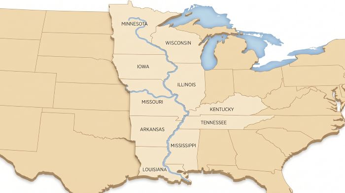
The Mississippi is one of North America's most important waterways. For the U.S. Government, continuous monitoring of water levels and flow conditions is essential for flood protection and safe navigation on the river.
Basic Situation
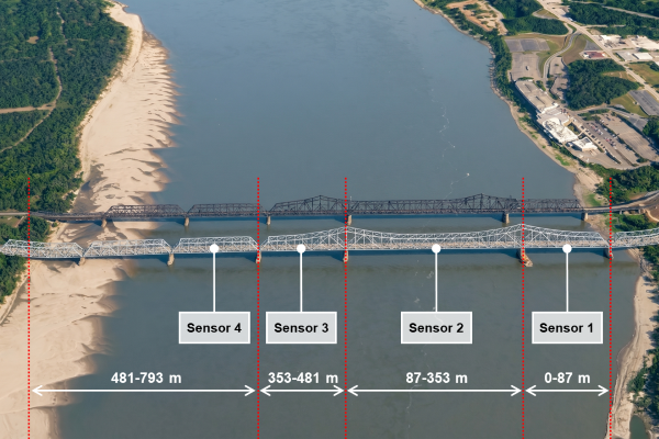
At the Interstate bridge near Vicksburg, Mississippi, there was a need to accurately measure surface flow velocity in a heavily trafficked shipping channel. The challenge lies in the river’s dimensions, as its width can range from several hundred meters to over two kilometers, depending on the water level.
Implementation
In May 2026, the U.S. Government installed four RQ30+D systems equipped with speed and water level sensors on selected spans of the Interstate bridge. The sensors were strategically positioned in areas with heavy vessel traffic to continuously monitor flow conditions in the navigation channel.
In addition to measuring surface velocity, the noncontact multi-sensor system also enables the calculation of discharge. Thanks to its modular design, the system can be easily expanded with additional sensors in the future.
Benefits / Results
The measurements provide highly accurate flow data to improve navigation safety under the bridge. The discharge values, validated by a U.S. Government agency, show a deviation of less than 1% compared to conventional ADCP measurements.
In addition, the data provides new insights into the dynamics of the Mississippi River. At the same time, the scalable system architecture lays the foundation for future applications, such as enhanced discharge monitoring during flood events.
Quick-Links...
Product information RQ-30D >> RQ-30D
Related products >> water
Further systems in hydrology>> hydrology